Big ring of Monte Amiata’s springs

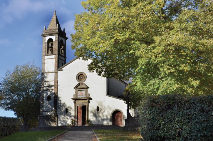
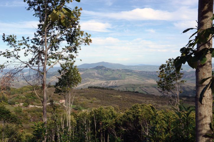
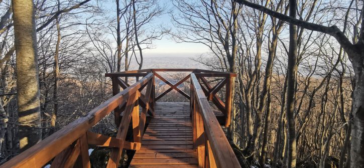
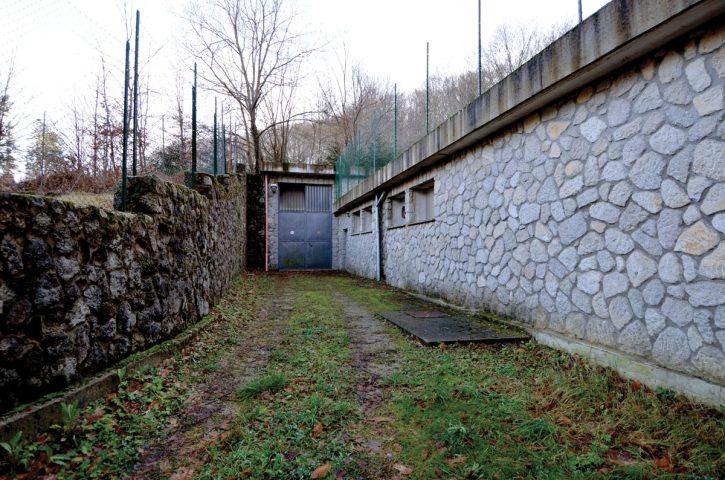
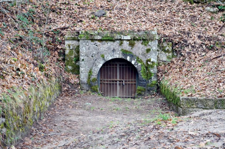
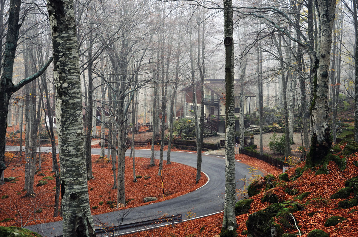
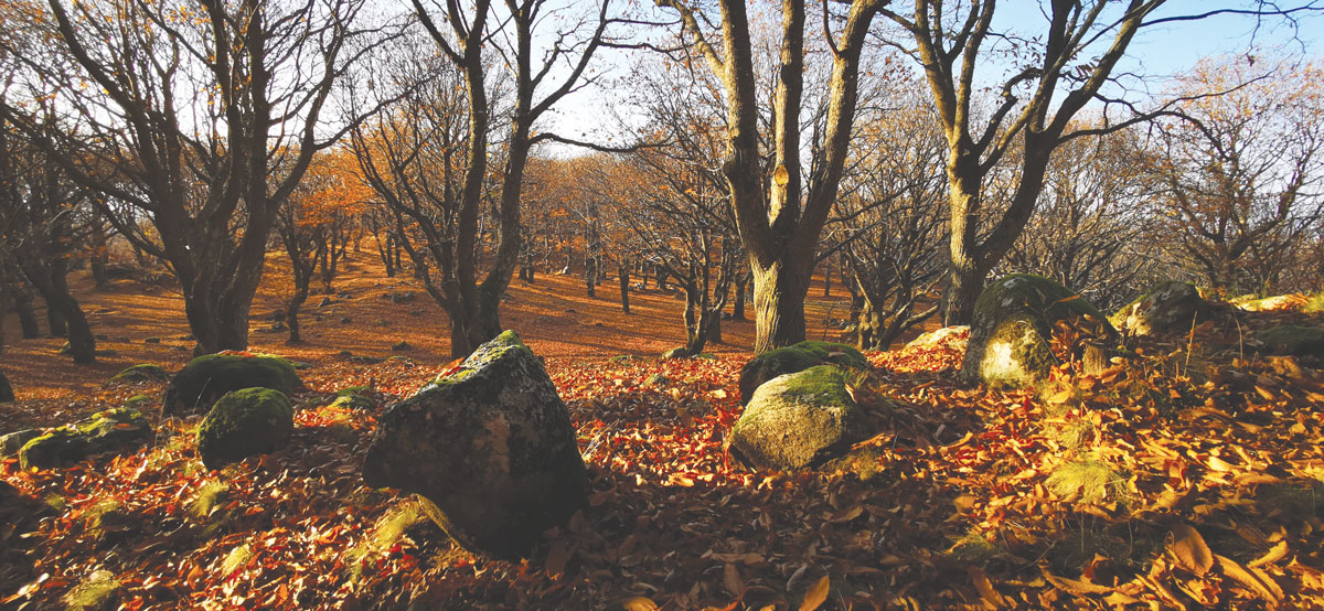
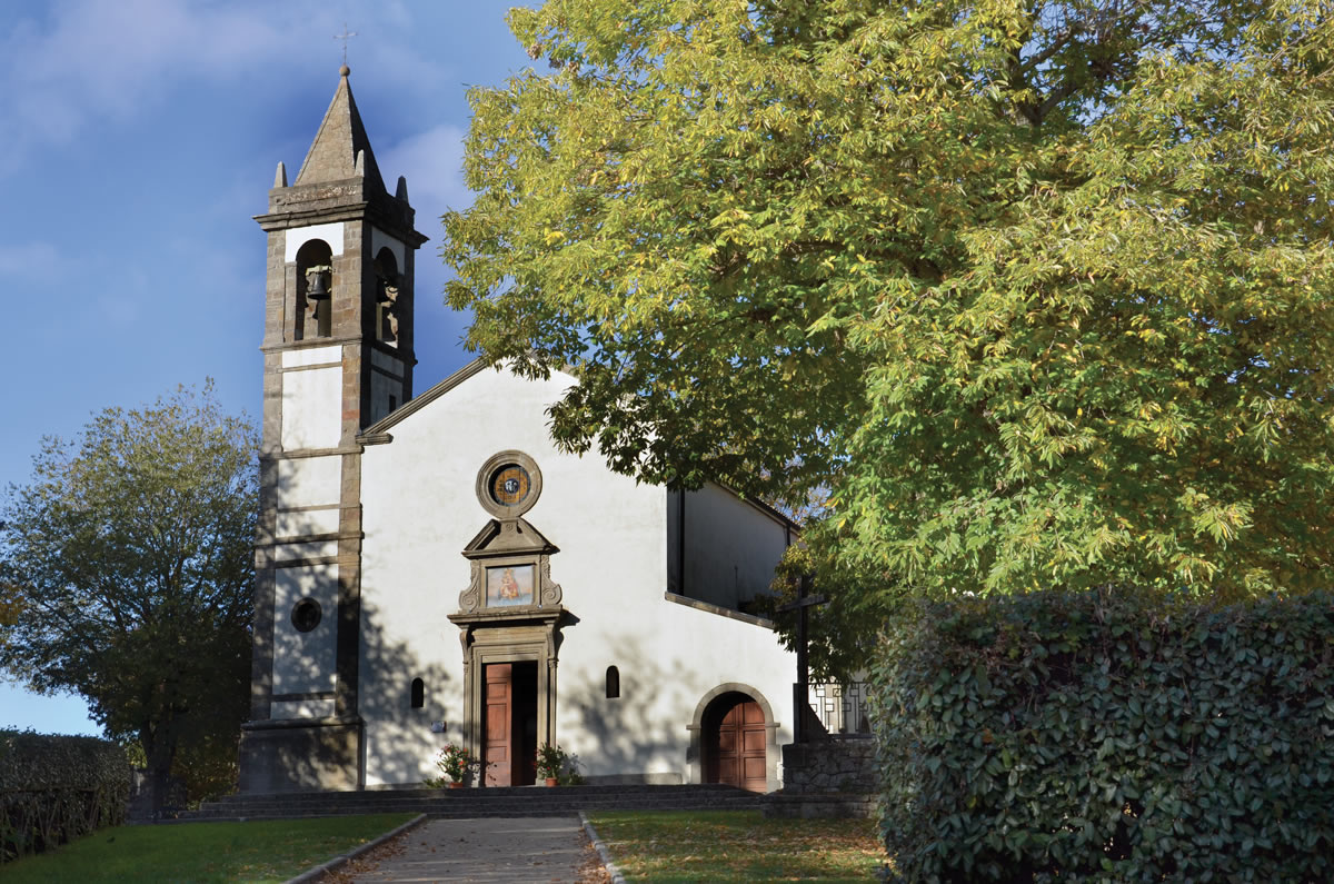
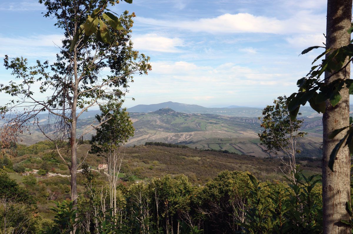
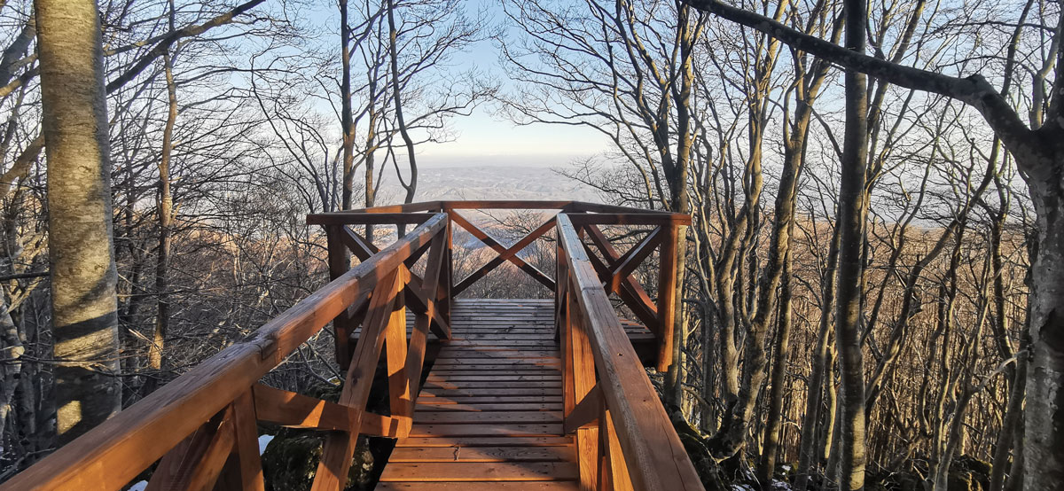
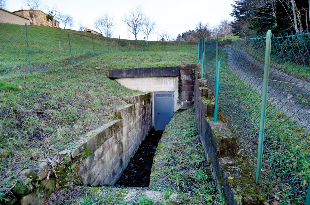
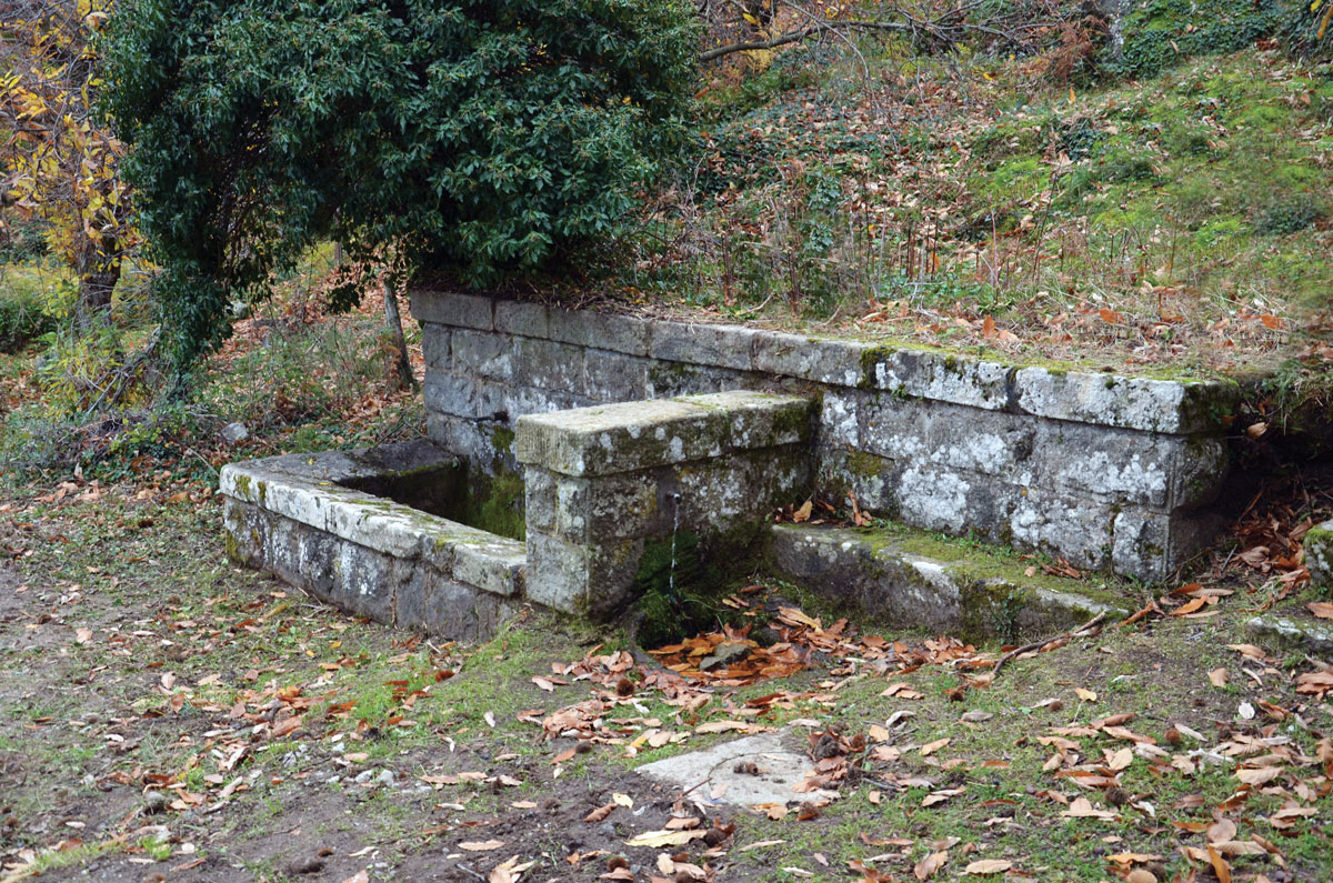
Itinerary Big ring of Monte Amiata’s springs It is the big ring that embraces the volcanic cone and leads to the discovery of the springs of Mount Amiata. 62 kilometres to be covered on foot or by e-bike and to be completed in several stages. Along the way, in fact, you can find rest areas…

The springs of Seggiano

Itinerary The springs of Seggiano This Via dell’Acqua, with its 19 kilometers, is one of the longest to date. It connects some of the most important springs in the municipality of Seggiano starting from the village of Tepolini. The length of the route and the technical sections that alternate with wide and comfortable paths make…

Cerro del Tasca Ring

Itinerary Cerro del Tasca Ring It is a 14-kilometre-long ring-shaped route that has its starting point and arrival near the evocative Sanctuary of the Madonna di San Pietro, located just outside the village of Piancastagnaio. The entire path is surrounded by the unspoiled nature of Mount Amiata. Chestnut trees, silver fir woods and ancient mountain…

Abbadia San Salvatore-Piancastagnaio

Itinerary Abbadia San Salvatore-Piancastagnaio Silver firs, large reservoirs of water and breathtaking viewpoints. Exploring this path is like being inside a palette of colours that change depending on the season. The path is about 7 kilometres long and connects Abbadia San Salvatore with Piancastagnaio, the two most important towns of the Sienese Amiata. The starting…

Ermicciolo-Abbadia San Salvatore

Itinerary Ermicciolo – Abbadia San Salvatore This 13-kilometre route connects the Ermicciolo Spring, in Vivo d’Orcia, with the Mining Museum of Abbadia San Salvatore, two Amiata sites of significant historical and social importance. The starting point is the small church located in the middle of the forest of Vivo d’Orcia, from herebegins a fairly technical…

Malerba spring

The area surrounding the Fonte Malerba reservoir offers a breathtaking view of the rolling hills at the foot of Mount Amiata. Located at about 890 metres above sea level and built in 1982, this reservoir supplies the village of Pescina, a mountain hamlet in the municipality of Seggiano. The work represented a turning point in…

Fusaio spring

The spring is located at 560 metres above sea level, in the municipality of Seggiano. Its discovery dates back to the early 1900s and has marked a radical change in the habits of the inhabitants of Seggiano, forced before then to use the rainwater collected by large tanks in the village. In Seggiano, there were…

Poggio del Guardia reservoir

The Poggio del Guardia reservoir is located at 990 metres in the area of Casa Flavia, in the municipality of Piancastagnaio. It was built in 1955, it supplies the town of Saragiolo and the area of Quaranta, both in the municipality of Piancastagnaio. It has recently been renovated and today it is presented to visitors…

Pian dei Renai reservoir

The Pian dei Renai reservoir is located at 1170 metres above sea level in the municipality of Abbadia San Salvatore. It is not a natural spring but the result of an effective human intervention. The first drilling to collect water from the subsoil began in the early 60s of the last century while the construction…

Cerro del Tasca Spring

The spring is located in Cerro del Tasca, at 860 metres above sea level, within the municipality of Piancastagnaio. Since its discovery, this rich spring is at the service of the inhabitants of Piancastagnaio, one of the largest and most important centres of Mount Amiata. THE PROJECT The project “Le Vie dell’Acqua” is dedicated to…