Itinerary Abbadia San Salvatore-Piancastagnaio
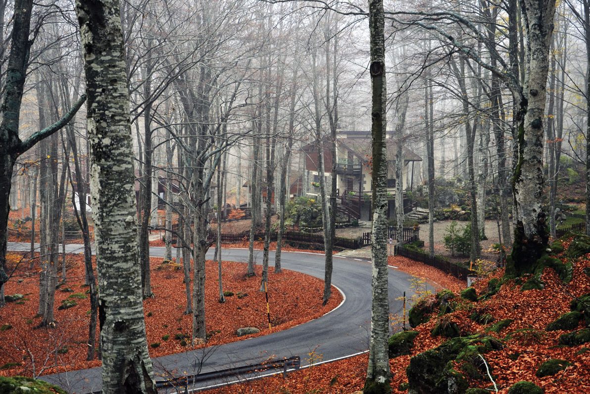
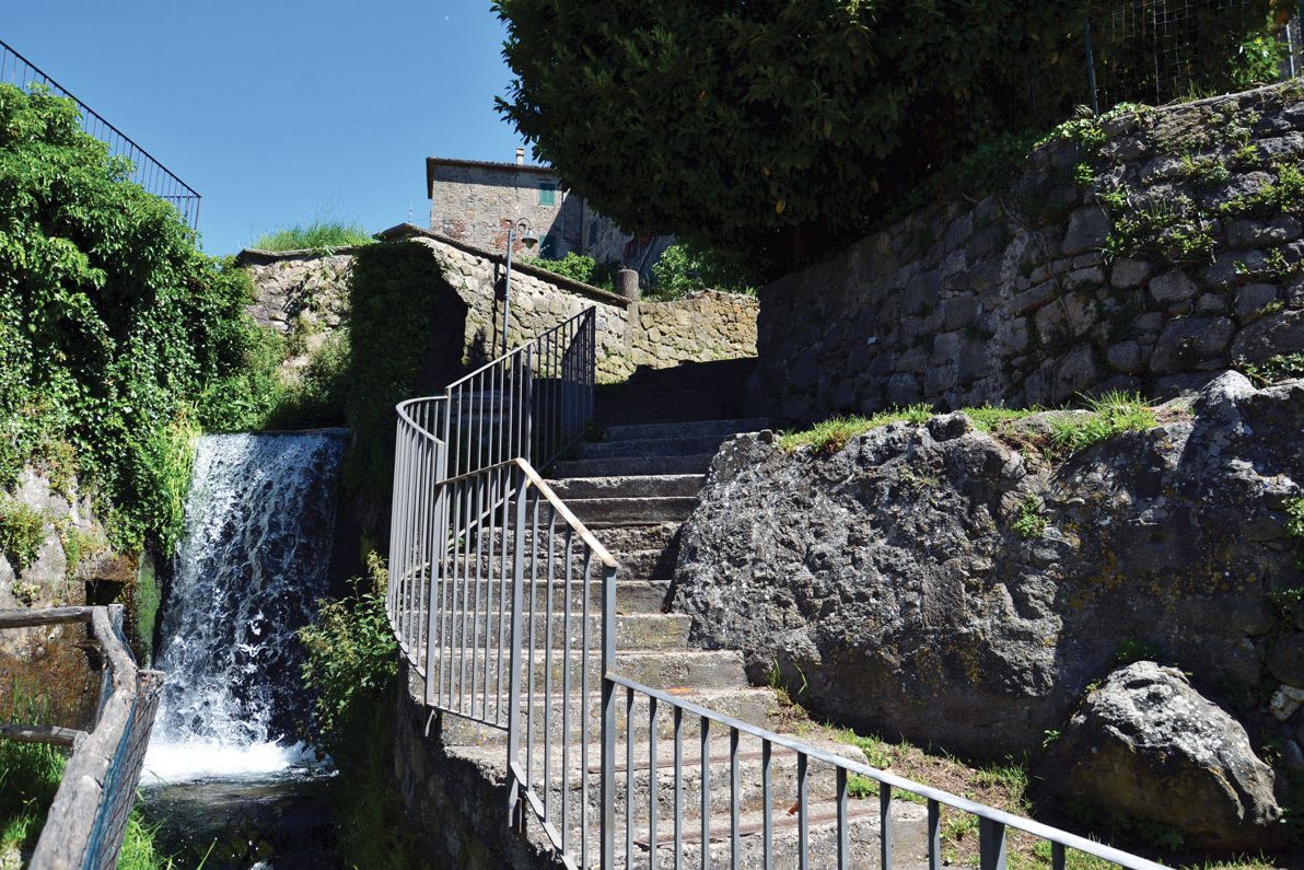
Silver firs, large reservoirs of water and breathtaking viewpoints. Exploring this path is like being inside a palette of colours that change depending on the season. The path is about 7 kilometres long and connects Abbadia San Salvatore with Piancastagnaio, the two most important towns of the Sienese Amiata. The starting point is from the Abbadia Mining Museum Park, a fascinating place rich in history and stories, where thousands of men have worked for over a century extracting from the subsoil the cinnabar, a mineral from which mercury was obtained. Today the old charm of the powder magazine and large buildings is to be found in a unique industrial architecture and this path allows you to admire it.
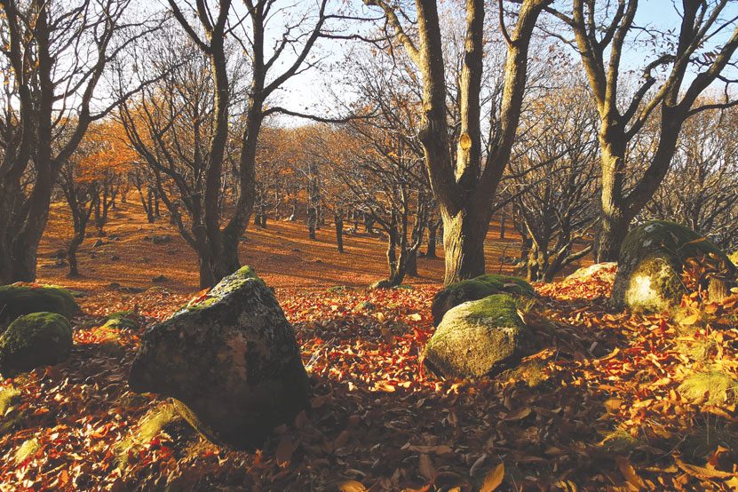
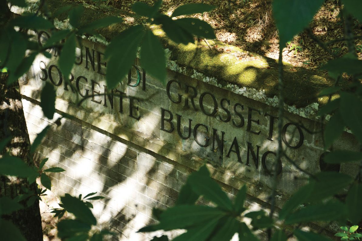
Among the points of interest that can be found along the route, certainly worth mentioning is the Acqua Gialla Reservoir which is a cistern located at 980 meters above sea level and built in 1966, the old Sant’Andrea Reservoir and finally the one called Cerro del Tasca. The latter is located in the municipality of Piancastagnaio and also offers an equipped area in the shade of centuries-old chestnut trees. Along the path there are plenty of surprises, such as being in a characteristic silver fir forest, or looking around and glimpsing, in at least two points, the characteristic Rocca di Radicofani. The arrival is at the Sanctuary of the Madonna di San Pietro.
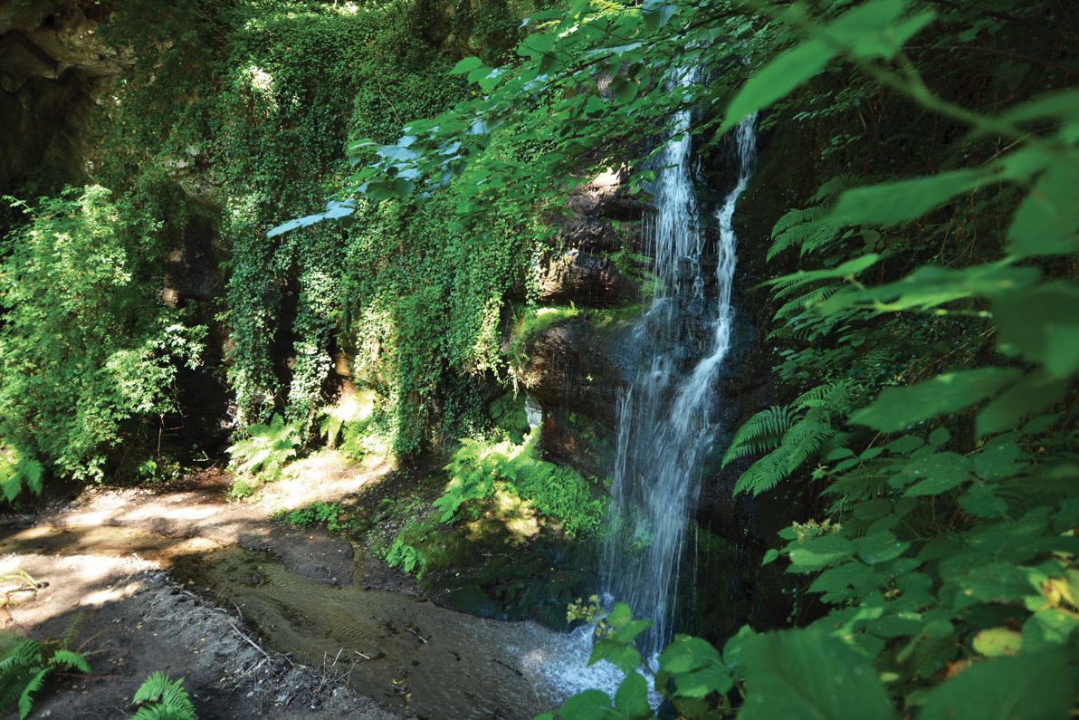
7a – From Polveriera to Yellow Water reservoir
It is a short route that leads from the Polveriera (powder magazine), just beyond the LaghettoVerde along the Via dell’Acqua 07, to the Yellow Water reservoir, one of the points of interest that allow you to discover the importance of the water resource on Mount Amiata. The distance of the destination from the fork is really minimal, about 1 km, but pleasant to travel because the slopes are extreme and above all they are covered by a beautiful vegetation of chestnut trees. The Fosso dell’Acqua Gialla is named for the presence of yellow iron oxide and is also known as Fosso dell’Acereto for the presence of many maple trees along its route.
Itinerary Information
Length: 7,3 km
Duration: 2:10 h
Total ascent: 135 m
Total descent: 203 m
Difficulty: 3/5
Commitment: 3/5
Technique: 1/5
Sea level: From 815 to 976 m
Best season: Spring, autumn